

Stay in the Know
Get our insights and latest news straight to your inbox.
Navigating land development due diligence, especially in the context of land surveying, can be a complex and gradual undertaking if not guided by a well-defined path aligned with property owners’ or developers’ specific objectives.
Further, determining the level of preparation needed for an ideal site and avoiding over-preparation for a site that is likely to be deemed unsuitable is a delicate but important process.
During due diligence, practices such as American Land Title Association (ALTA) surveys and the careful compilation of topographic data can be highly demanding in terms of time and cost. Therefore, recognizing the strategic value of synchronizing these practices within the overarching project timeline is pivotal. The best practice is for these steps to be seamlessly aligned with the unique demands of each project, from the initial land acquisition phase to the final stages of development.
The following information and insights should help you optimize your survey journey and achieve superior outcomes – often by capitalizing on the wealth of preliminary information about a site that’s typically available to developers and landowners at the start of a project.
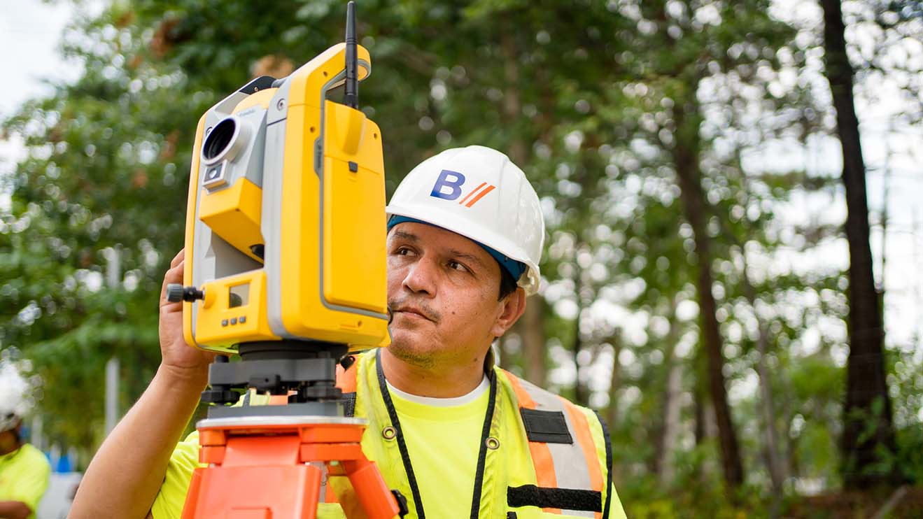
Having a clear understanding of a survey’s intended purpose is key to efficiently allocating resources and to promote accurate results. For initial due diligence, a combination of boundary survey and geographic information system (GIS) topography might be sufficient.
However, when envisioning property development, or if you need comprehensive data for sales, the inclusion of an ALTA survey with detailed topographic information is important. By defining the survey’s purpose from the start, approaches can be tailored to specific project needs, saving time and reducing expenses.
Aligning survey objectives with development plans can also reveal the need for additional measures, such as establishing control points or benchmarks to facilitate future construction.
Overall, this comprehensive, precise, and cost-effective approach to scoping streamlines the survey process, promotes its efficiency and increases its contribution to project success.
See Related: Survey Time Crunch?
The opportunity to reduce cost is an advantage of opting for an ALTA survey without immediate topographic information.
In scenarios where an ALTA survey is required for property transactions but topographic data is not currently needed, a phased approach can prove more efficient. By initially providing an ALTA survey that thoroughly documents property boundaries, encumbrances, and other significant elements, you can secure the essential survey information you need while minimizing expenses.
This approach is even more valuable when development feasibility remains uncertain. In these cases, the ALTA survey without topographic information provides a foundational understanding without committing resources to comprehensive topographic data collection upfront.
For projects ready to advance, combining the execution of ALTA and topographic surveys can also yield significant time and cost savings. The integrated approach may eliminate redundant efforts, streamlines the surveying process, and paves the way for effective decision-making during project development.
The “office-only” survey method relies solely on existing records and data, eliminating the need for an on-site visit. This approach is primarily used to verify established boundary data or confirm previous survey measurements.
Bohler’s access to extensive Geographic Information System (GIS) data and information from various agencies increases the comprehensiveness of the “office-only” approach.
Through the creation of a Computer-Aided Design (CAD) file incorporating collected deeds and official maps, we provide developers and landowners with valuable information about potential boundary concerns or gaps without conducting a physical on-site survey. This accelerates the initial information-gathering phase, enabling Bohler to deliver insights to our clients more efficiently.
While Bohler possesses a plethora of records and data for numerous sites, using data from a previous survey for a new land development project may necessitate additional validation and research to promote accuracy.
Of course, the thoroughness of an “office-only” survey hinges on the availability and dependability of existing data. Consequently, a physical site visit may be crucial for identifying issues that might not be uncovered through existing records.
Beyond property and survey due diligence, Bohler’s role also encompasses political due diligence. This involves engaging with local communities to understand their preferences, such as whether or not they support road widening or the installation of traffic lights.
In short, employing a comprehensive approach that intertwines various aspects of due diligence is key to promoting thorough preparation and informed decision-making.
Prioritizing specific due diligence steps while deferring others can be advantageous in certain scenarios. Customizing in this manner depends on the unique requirements of the project and the complexity of the property in question.
Initiating the process with a preliminary sketch and boundary survey can swiftly provide an initial overview. If the property’s potential is promising, developers can then undertake more comprehensive surveys, such as an ALTA survey, along with additional assessments like wetland or tree surveys.
Working in incremental steps helps to avoid unnecessary surveys for properties that might not be suitable for development.
Understanding the level of intricacy and assurance required by a particular survey will guide you in selecting the right balance between rapid information acquisition and formal certification.
Expedited information (such as boundary verification or partial surveys) may be ideal if quick results are needed, and stakeholders are comfortable relying on existing data without full certification.
In contrast, certified surveys offer greater certainty but entail field visits, comprehensive research, and professional surveyor’s certification.
Therefore, the choice between more expeditious, budget-friendly options and more thorough certified survey alternatives depends greatly on the project’s urgency and budget.
Within Bohler’s operational framework, the surveying team operates closely with in-house engineers, fostering a mutually beneficial collaboration that creates synergy and typically minimizes time, cost, and potential complications.
Through this approach, the surveying team is an integral part of the project team, closely aligned with in-house engineers and other experts. This dynamic spans the entire due diligence process and promotes real-time communication, prompt issue resolution, and efficient sharing of critical data. The outcome is a streamlined workflow that works to preemptively address delays and promotes seamless project progression.
The same synchronization also optimizes the operational landscape by creating a harmonious collaboration that encourages the exchange of ideas and effective practices between surveyors and engineers. Additionally, their close partnership enables workflows to be fine-tuned for efficiency and empowers the team to meet project deadlines.
Equally, the presence of an in-house survey team facilitates quick adaption to changes in project timelines and the reallocation of resources as project demands evolve.
Alignment of surveying and engineering expertise ultimately promotes smoother, faster, and more responsive guidance to meet our clients’ needs.
See Related: How to Build a Successful Development Team
Bohler is actively cultivating a culture of collaboration within its survey teams and refining the survey process to enhance its effectiveness.
Our surveyors and engineers combine their knowledge, capabilities, and skill sets to propel the survey process forward with greater efficiency and precision – and we employ current technology and tools to further enhance accuracy and speed.
Through this effort and others like it, we’re not only maximizing the effectiveness of the survey process but also continually working to increase synergy across our various disciplines on our clients’ behalf.

Get our insights and latest news straight to your inbox.