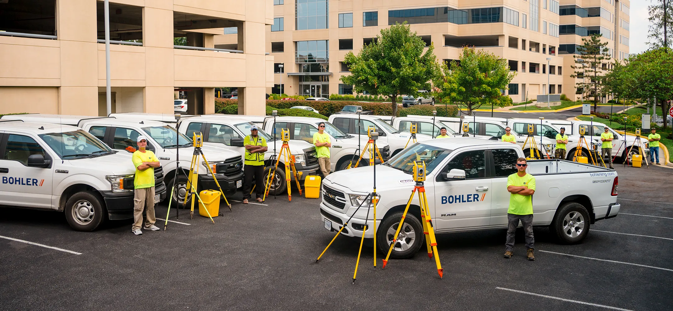
Bohler’s in-house team delivers surveying services through a progressive, collaborative, and multidisciplinary approach that eliminates wait time, ensures accuracy, improves efficiency, and increases speed to market.
Whether your survey is needed to facilitate a real estate transaction or perform new construction, upgrades, expansions, or renovations, we’re committed to providing greater strategic value to help you make confident, data-driven decisions on projects in all the markets we serve.
Creating the Synergy Needed to Streamline Survey Projects
Guided by our unique approach, Bohler’s survey team collaborates with our designers, planners, and civil engineers from the start, becoming an integral part of the total project team.
This synergistic dynamic facilitates real-time communication and efficient sharing of critical information. This allows us to promptly resolve issues, preemptively address delays, and quickly adapt to changes in the project timeline.
The result is seamless project progression and reduced risk.
Protecting Your Interests
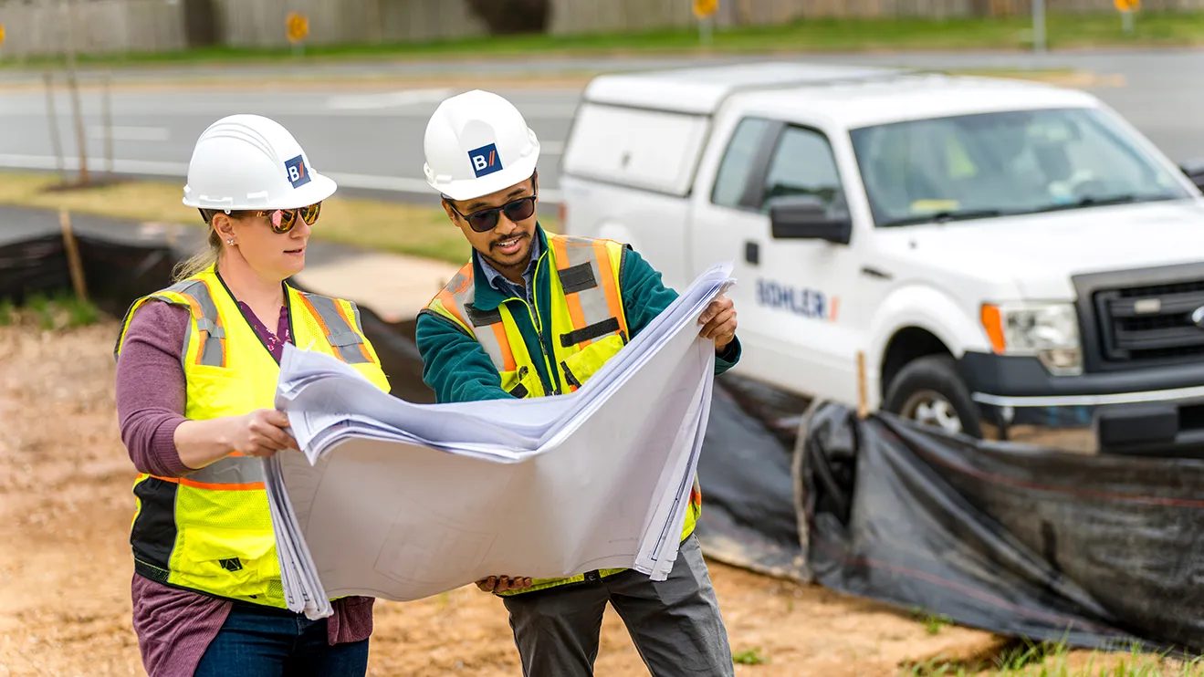
Our survey team acts as a true consultant and an extension of your company, working closely with you to fully understand your immediate needs and plans for the future use of the land.
During this part of the due diligence process, we explore why the survey is required, further refine our recommendations, suggest additional survey services (if critical for the long term), and offer advice on other matters that might impact your budget or timeline.
These include determining what must be done immediately versus what could be tackled later and the right level of preparation. The latter is particularly important as preparation differs for an ideal site versus a site likely to be deemed unsuitable.
Our role also encompasses political due diligence, which involves engaging with local communities to understand their opinions in advance – their position on road-widening projects, for example.
By looking at the big picture and intertwining various aspects of due diligence throughout the process, we ensure our clients are able to make informed choices at every step.
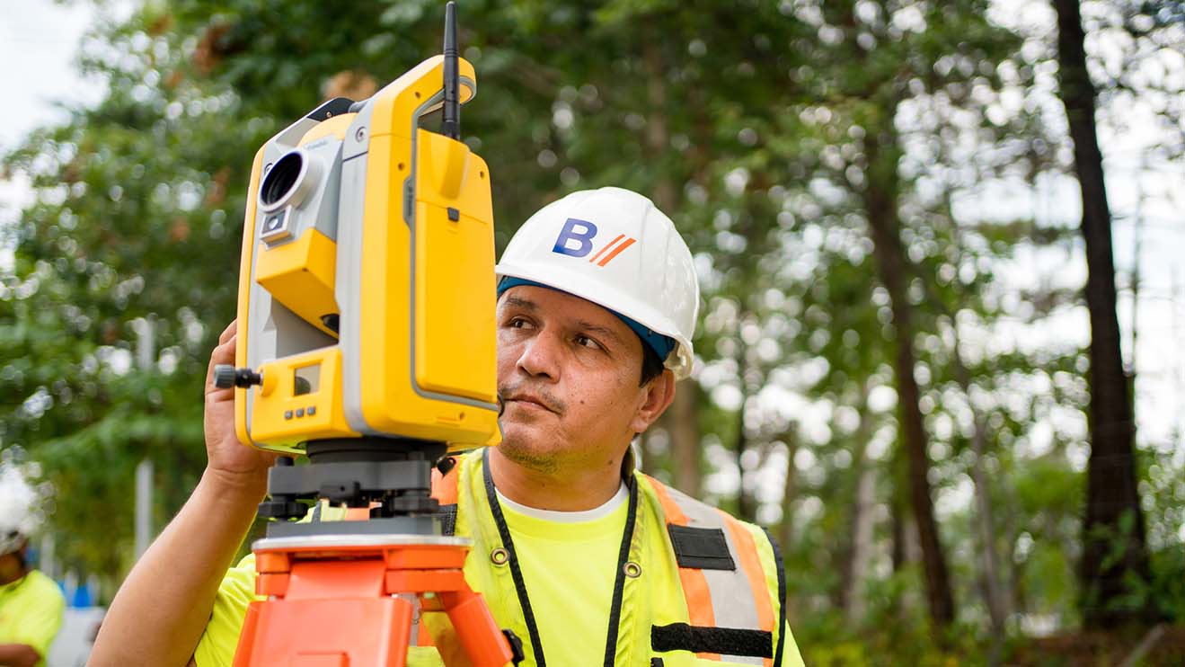

Leveraging Technology for Speed, Accuracy, and Safety
Survey Types
Featured Projects
Grow Faster with Bohler
Our forward-thinking approach makes a meaningful difference for our most ambitious clients. Talk to our team today.
Get in Touch